Landscape design research is important for cultivating spatial intelligence in landscape architecture. This study explores GIS (geographic information systems) as a tool for landscape design research – investigating landscape designs to understand them as architectonic compositions. The research aims to identify and illustrate the potential role of GIS as a tool in landscape design research, so as to provide insight into the possibilities and limitations of using GIS in this capacity. Read more...
Visual landscape research
Visual landscape research is an interdisciplinary approach that combines (a) landscape planning, design and management
concepts, (b) landscape perception
approaches, and (c) Geographic
Information Science (GISc)-based methods and techniques. While integrating psychological
knowledge of landscape perception, the technical considerations of geomatics,
and methodology of landscape architecture and urban planning, it provides a solid
basis for visual landscape assessment in cities, parks and rural areas. Read more...
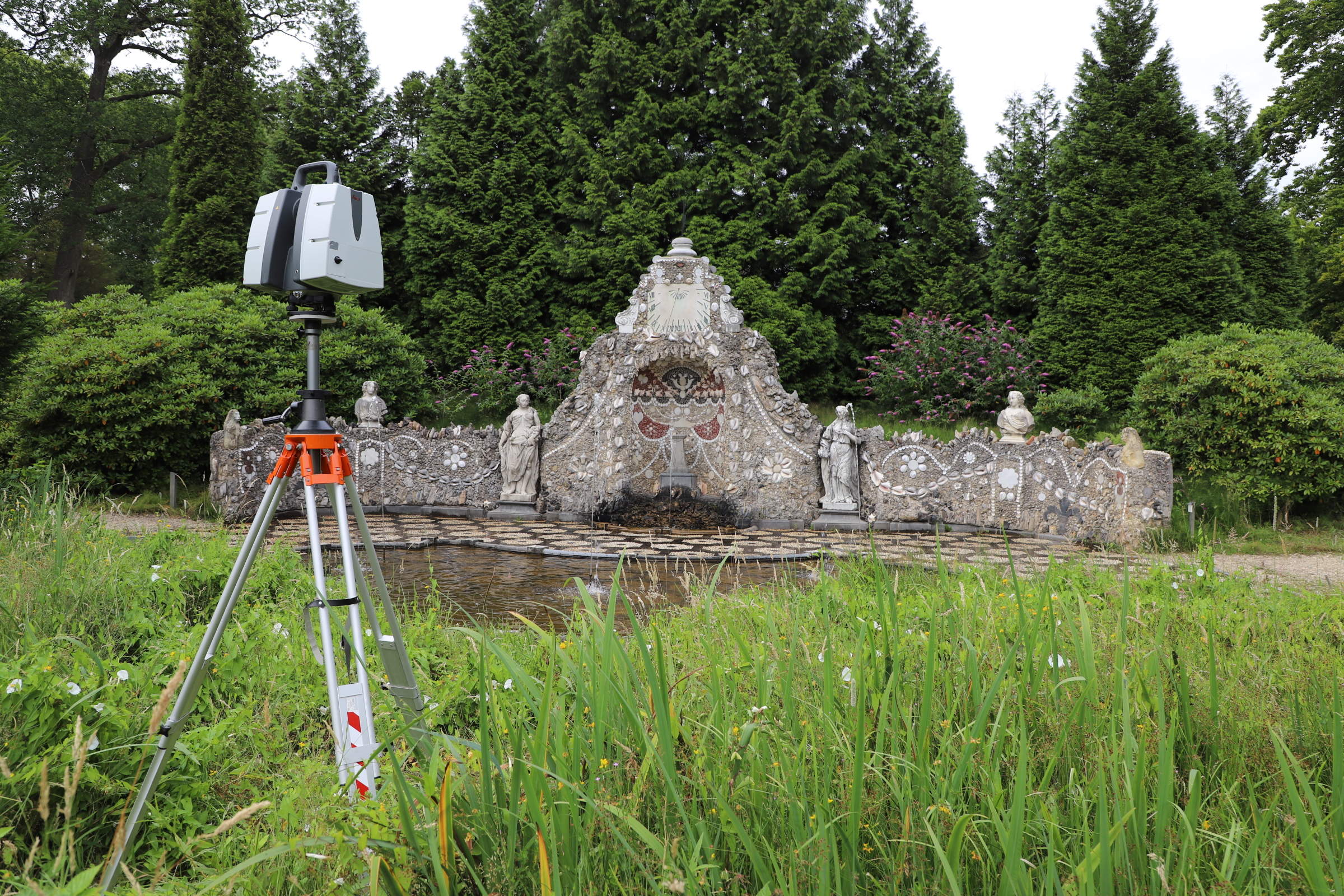
Field instruments for design
This research focuses on the use of field instruments
in landscape architecture. 3D Terrestrial laser scanning, point cloud technology, drones, eye tracking
devices and other instruments are employed for advanced analysis for design. True-colour 3D laser
scan Rosendael Park and Castle (Rozendaal, Netherlands). See more…